Pakistan-UAE Strengthen Ties Through FWBL Acquisition
October 19, 2025
Pakistan and Russia Strengthen Media and Cultural Cooperation
October 20, 2025Pakistan Launches First Hyperspectral Satellite from China
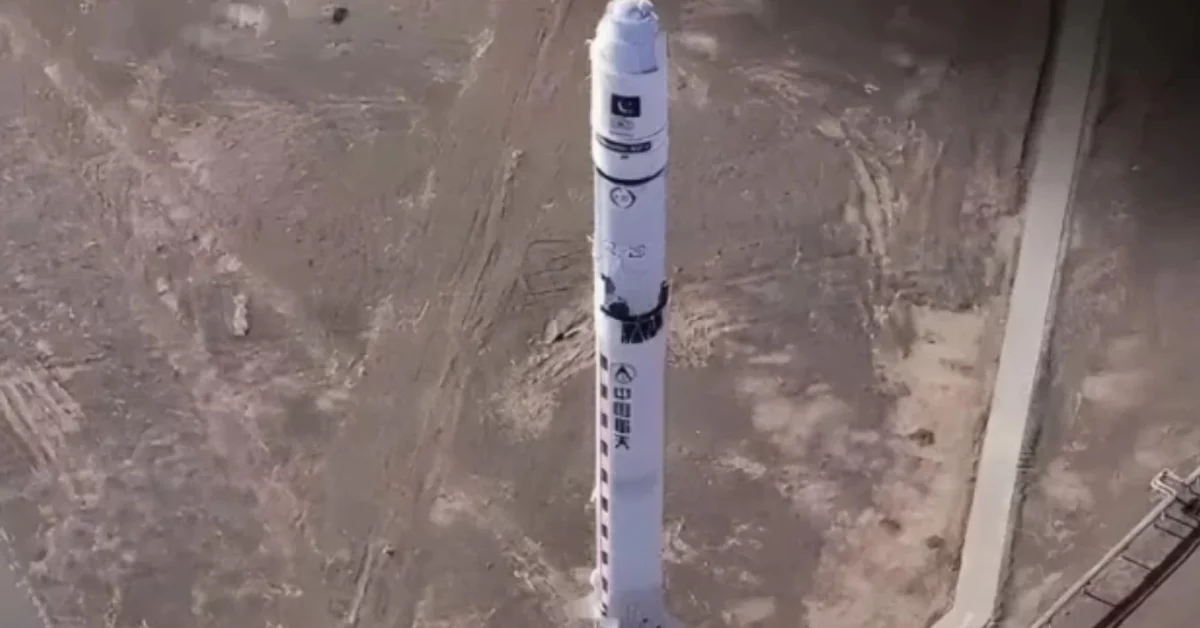
Pakistan Space and Upper Atmosphere Research Commission (SUPARCO) has launched its first Hyperspectral Satellite (HS-1) from China, marking a major step in space technology. The satellite will aid precision agriculture, disaster management, and CPEC related infrastructure planning.
Read more: The Digital Silk Road: CPEC And Pakistan’s Tech Future
Pakistan Space and Upper Atmosphere Research Comission (SUPARCO) has launched the country’s first Hyperspectral Satellite (HS-1) from the Chinese Satellite Launch Center, the Foreign Ministry announced.
The HS-1 is equipped with hyperspectral imaging technology that captures data across hundreds of narrow spectral bands. This allows detailed monitoring of land use, vegetation health, water resources, and urban growth.
Officials said the satellite will improve Pakistan’s ability to manage natural resources, plan cities, and respond to disasters. The data will also support development projects under the China Pakistan Economic Corridor – CPEC by identifying geo-hazard risks and guiding sustainable construction.
The mission was developed jointly by scientists from Pakistan and China, extending long-standing cooperation in the peaceful use of space. The ministry added that HS-1 will work alongside existing satellites PRSS-1, EO-1, and KS-1, strengthening Pakistan’s growing remote-sensing capabilities.


